Pocket Routes

The Yoredale Way

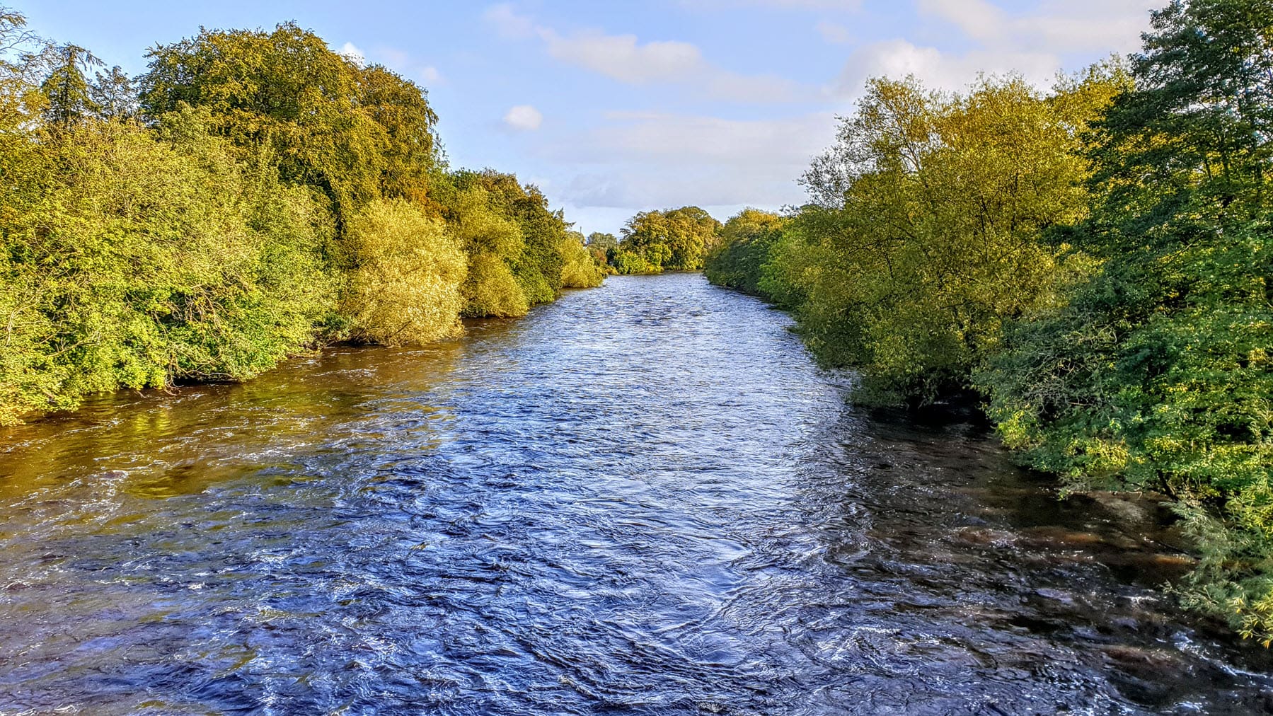
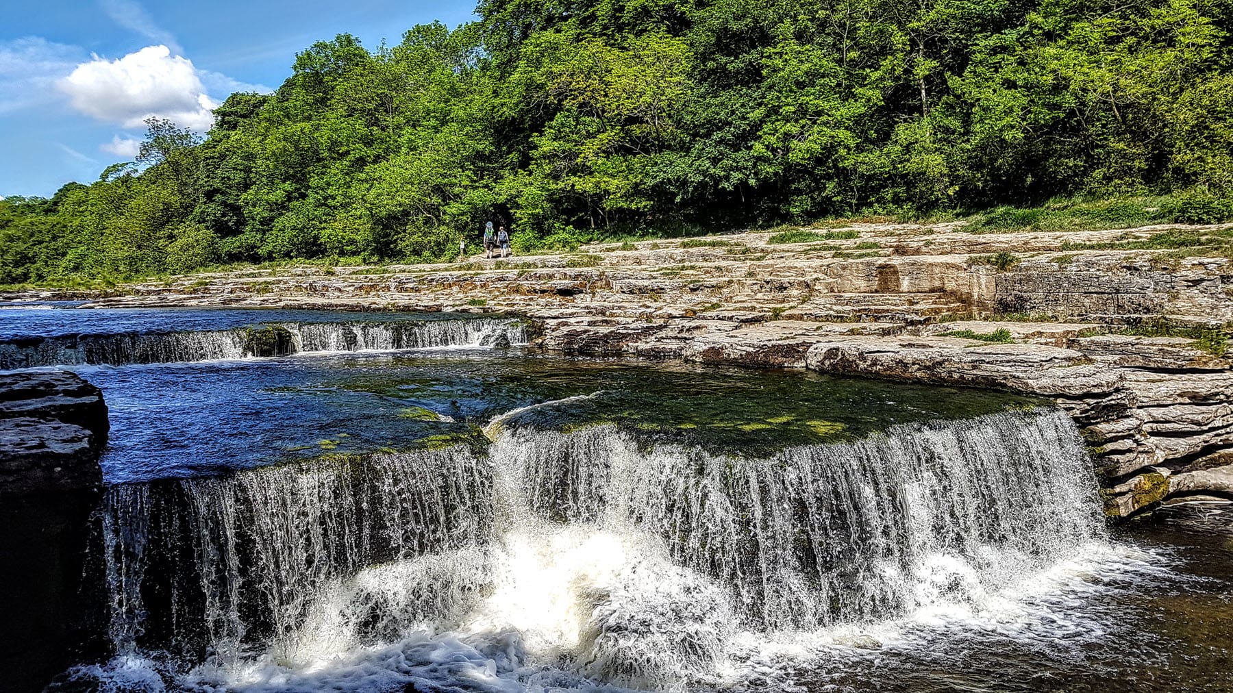
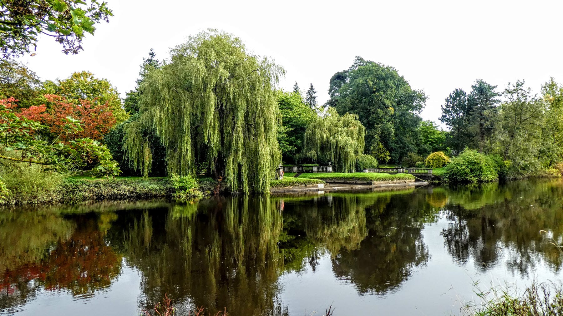
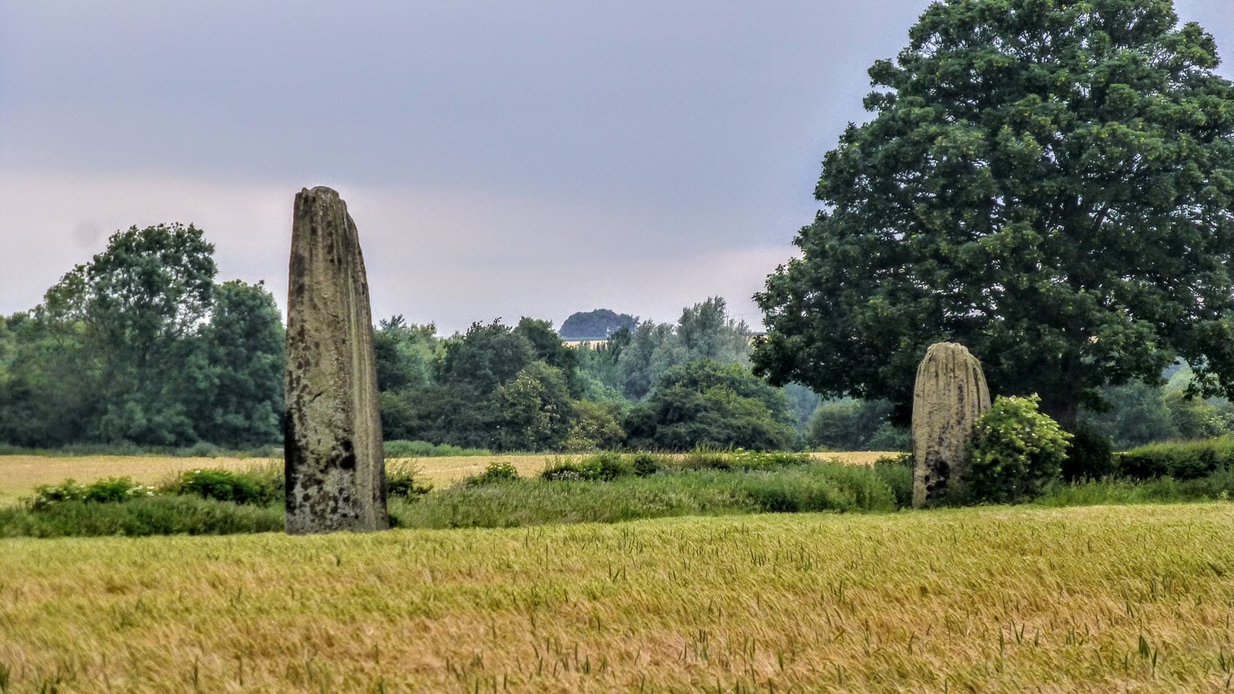
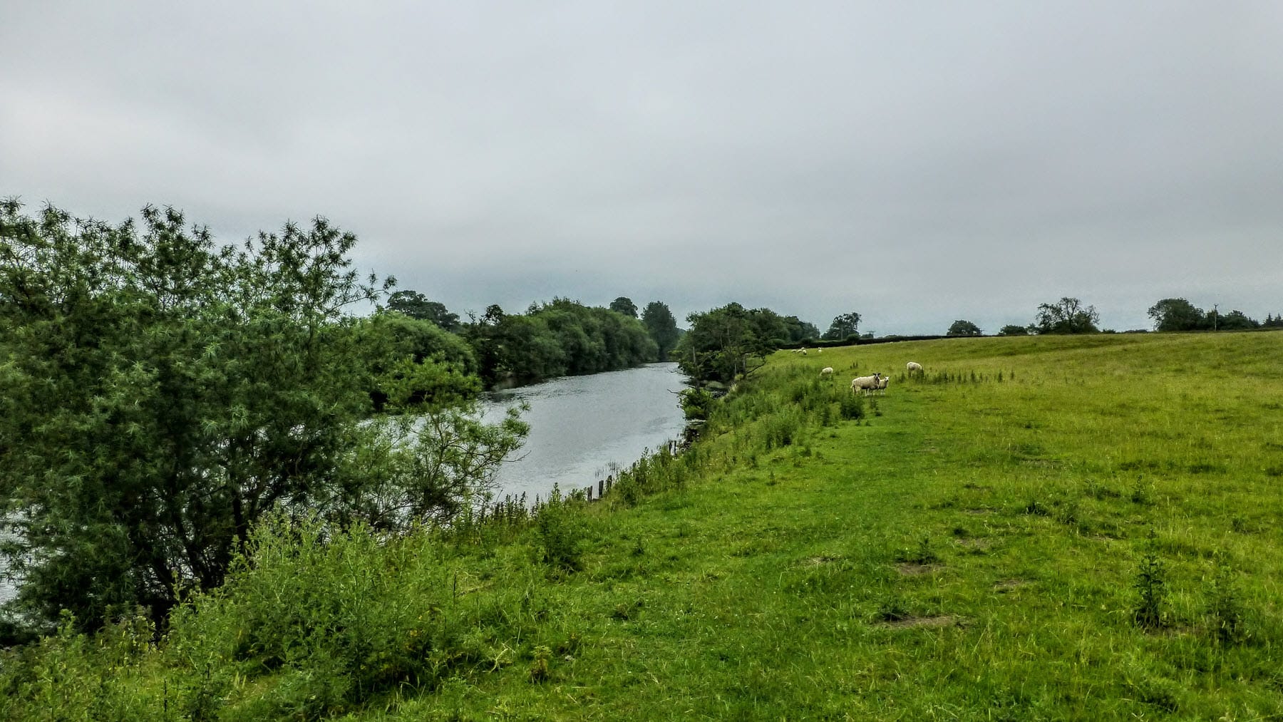
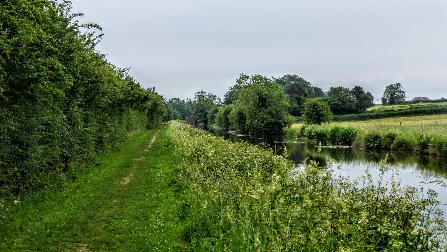
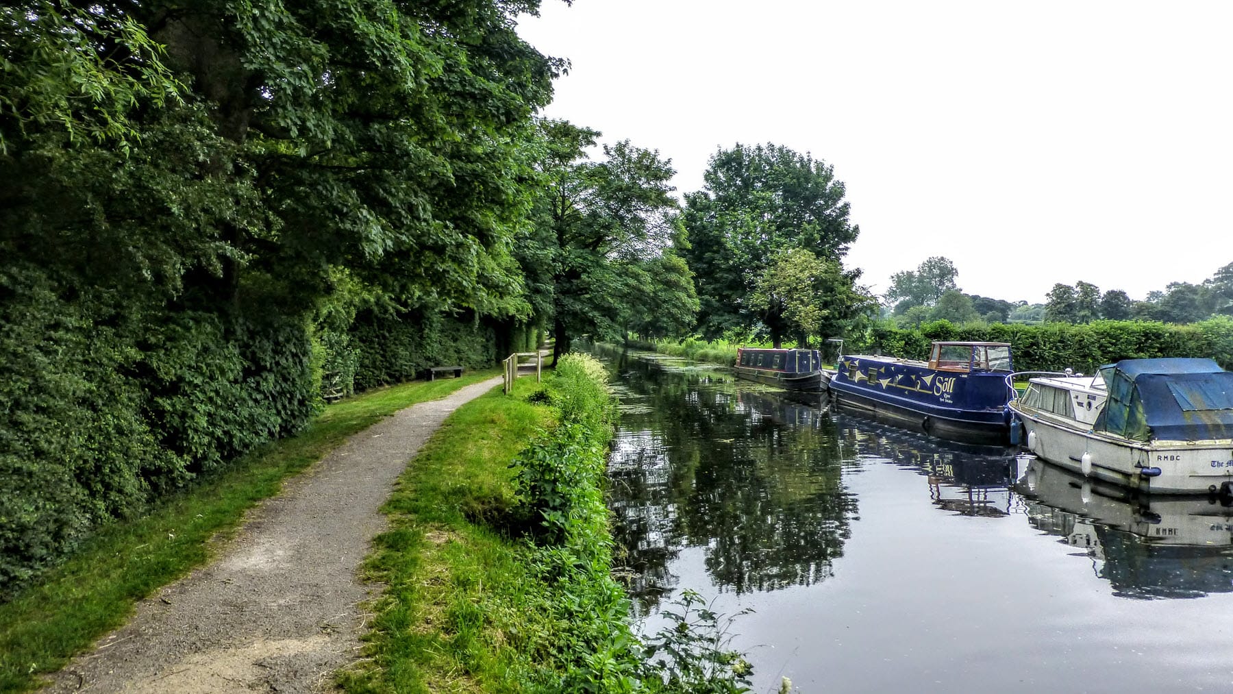
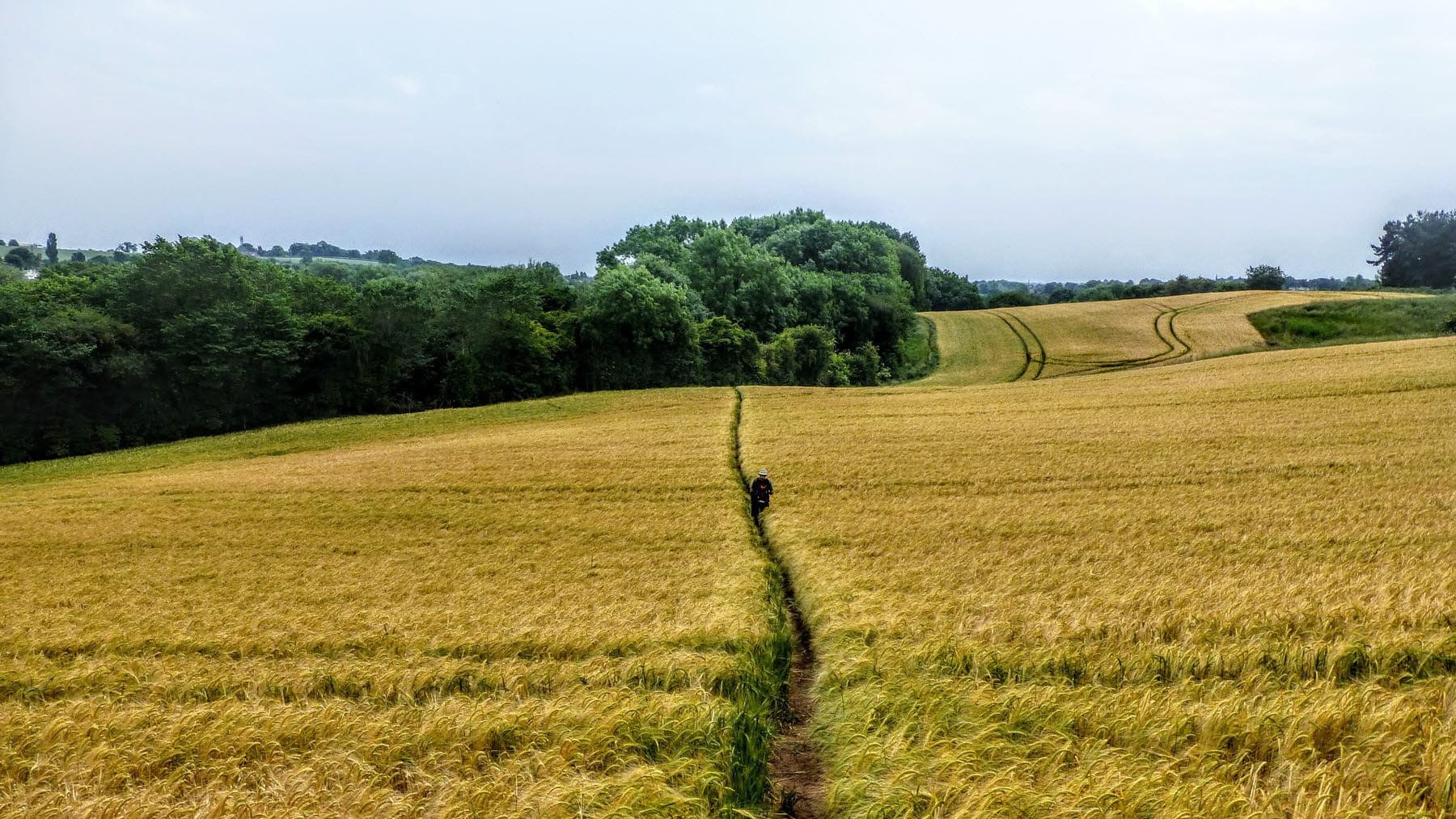
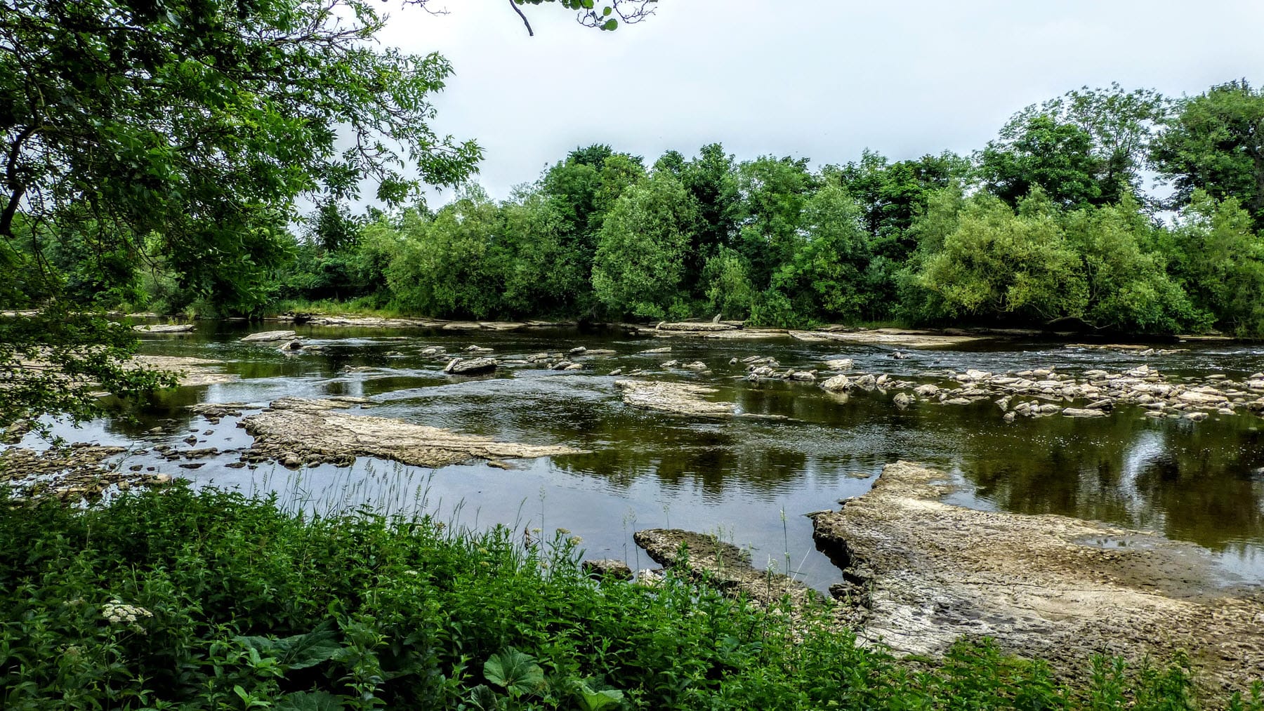
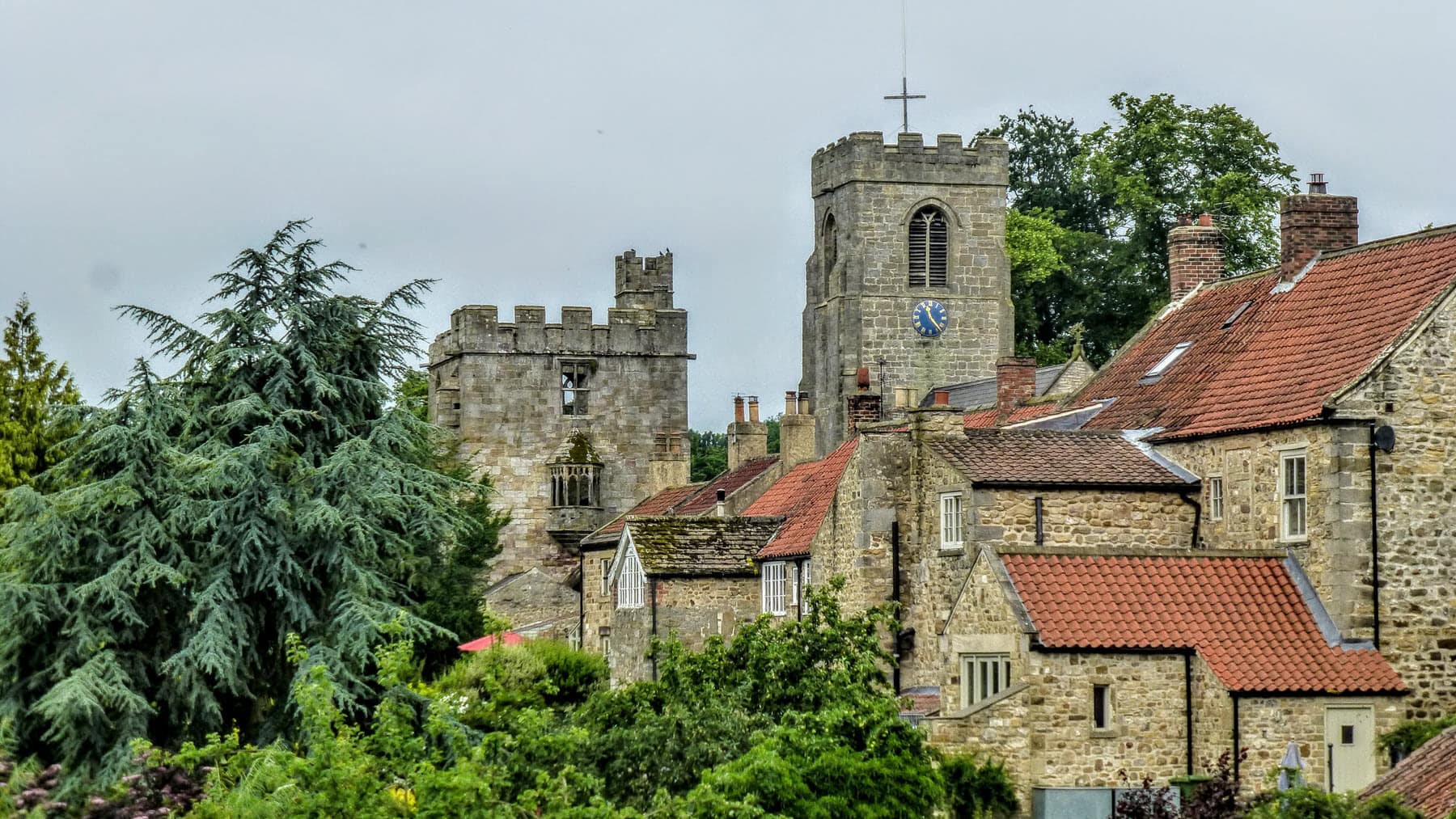
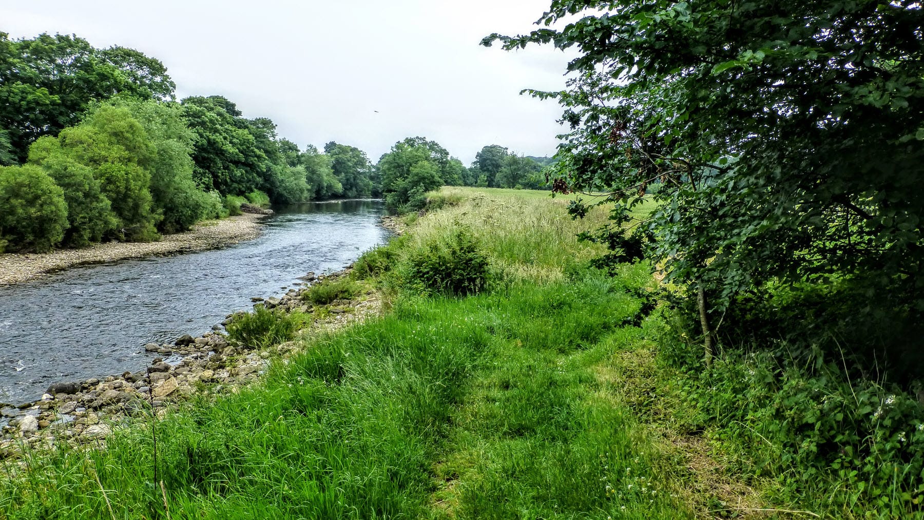
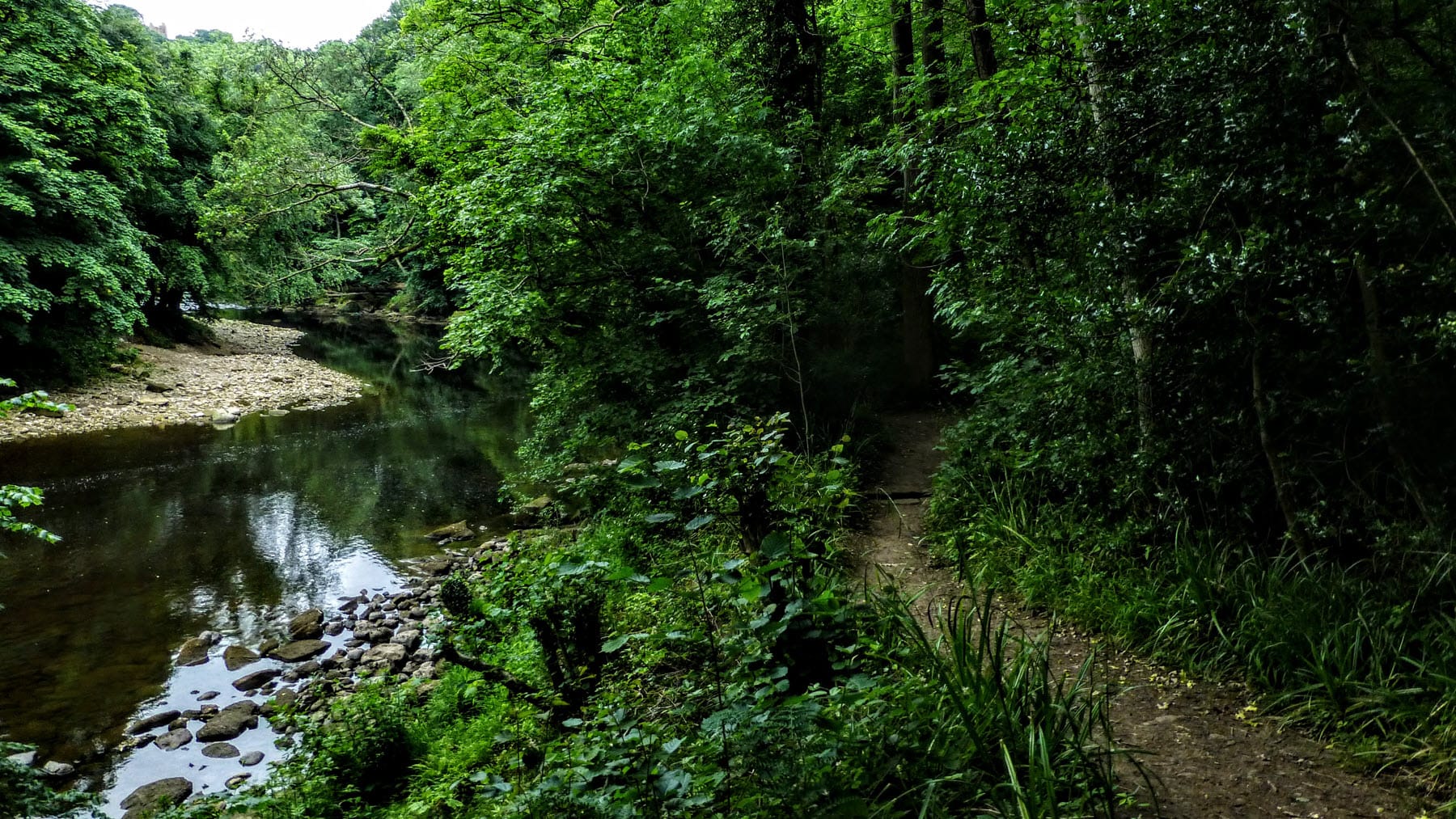
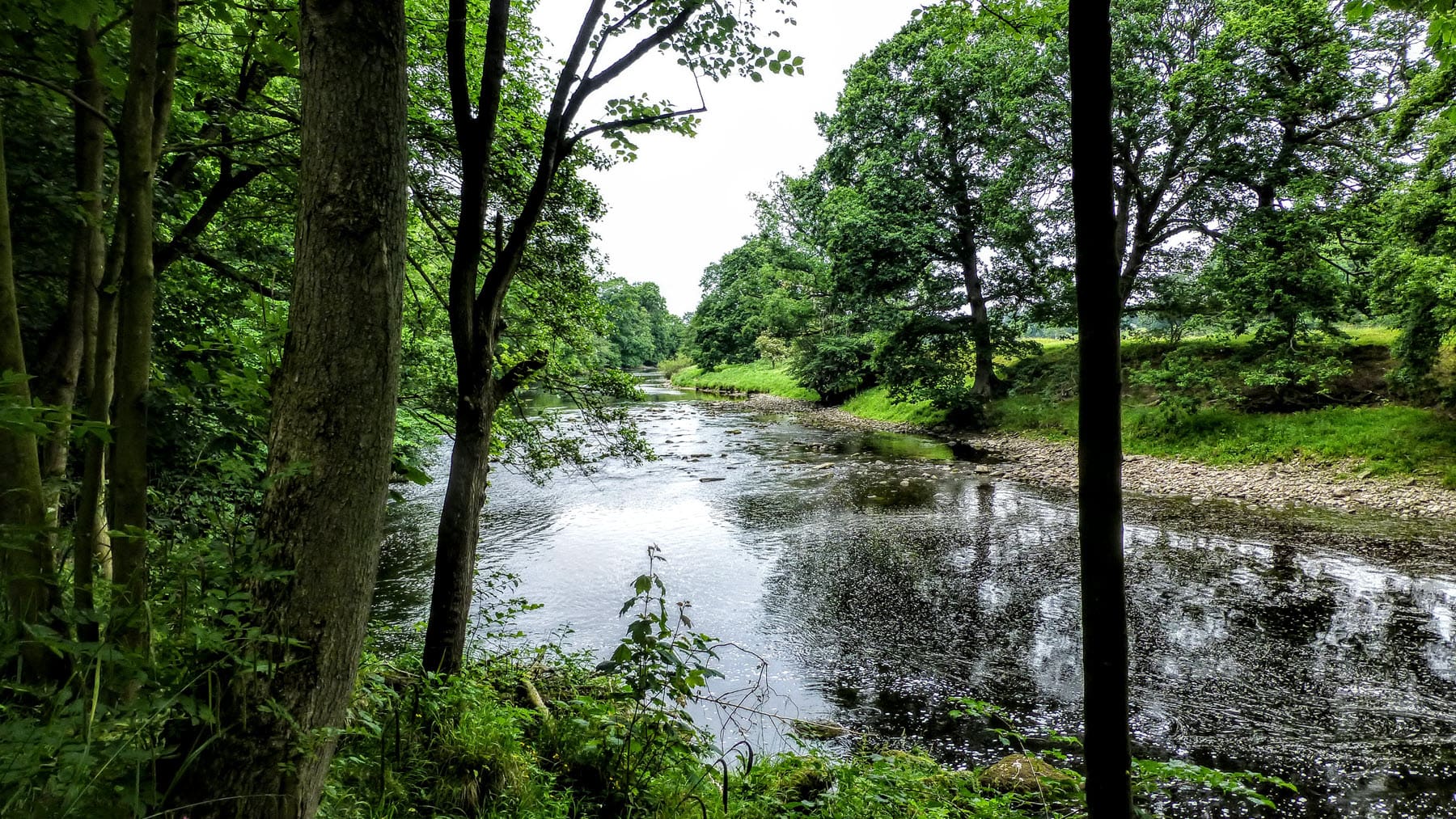
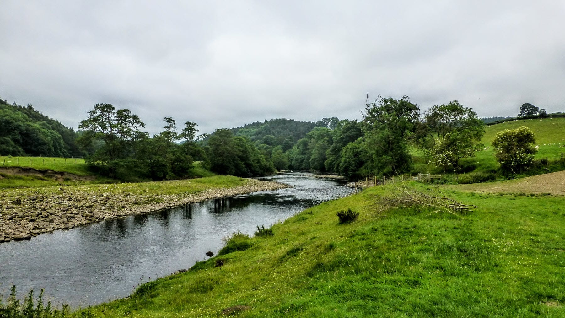
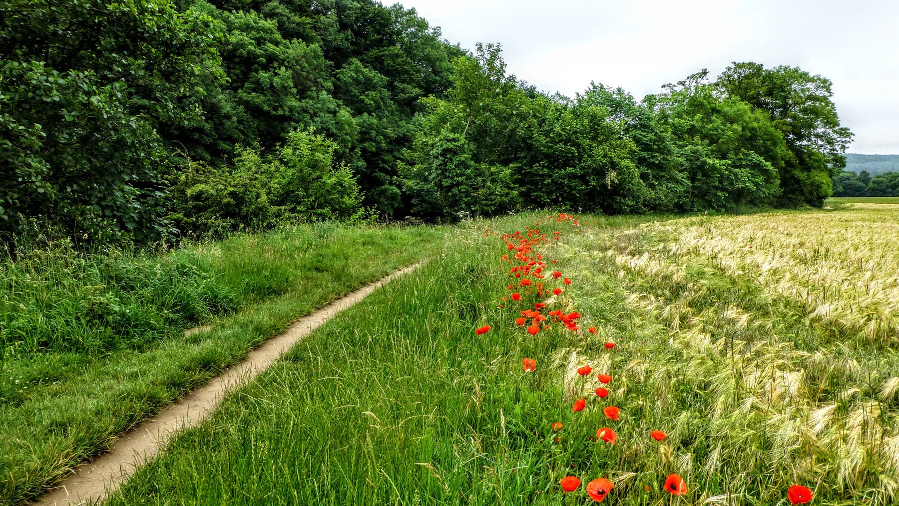
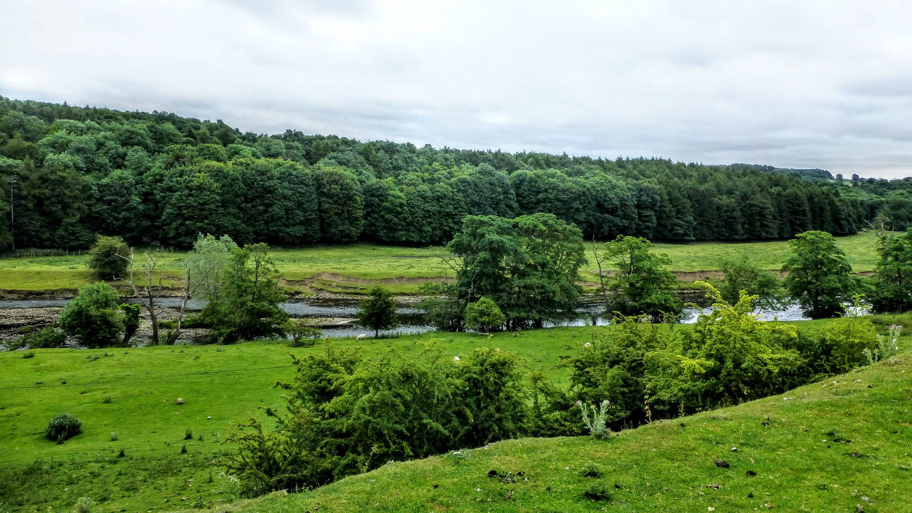
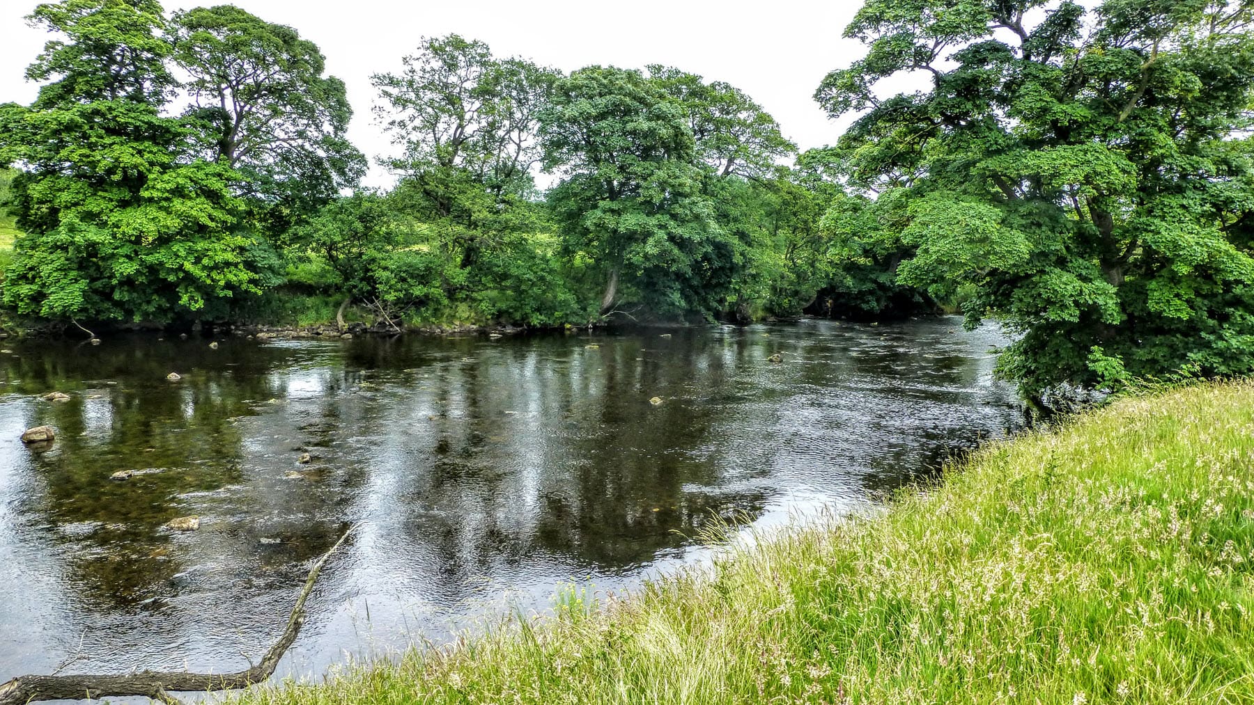
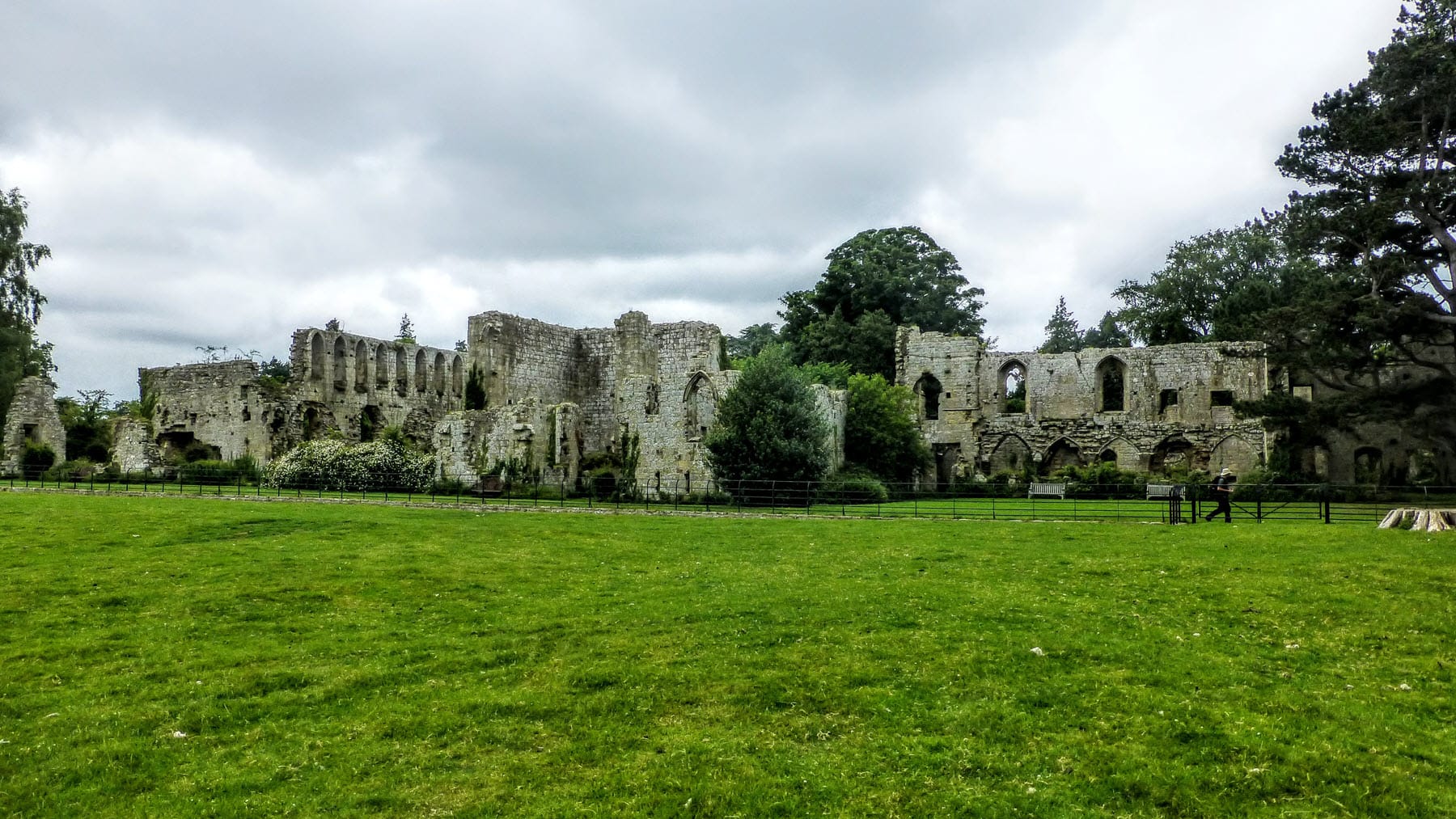
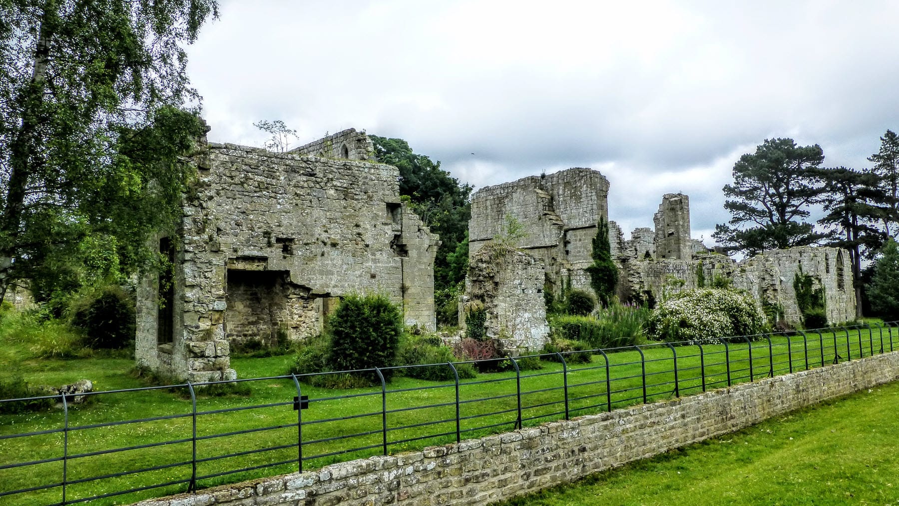
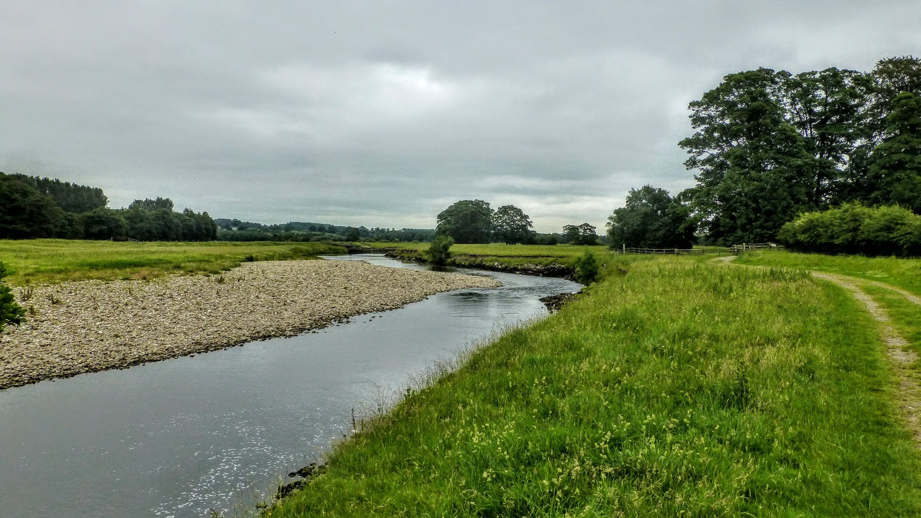
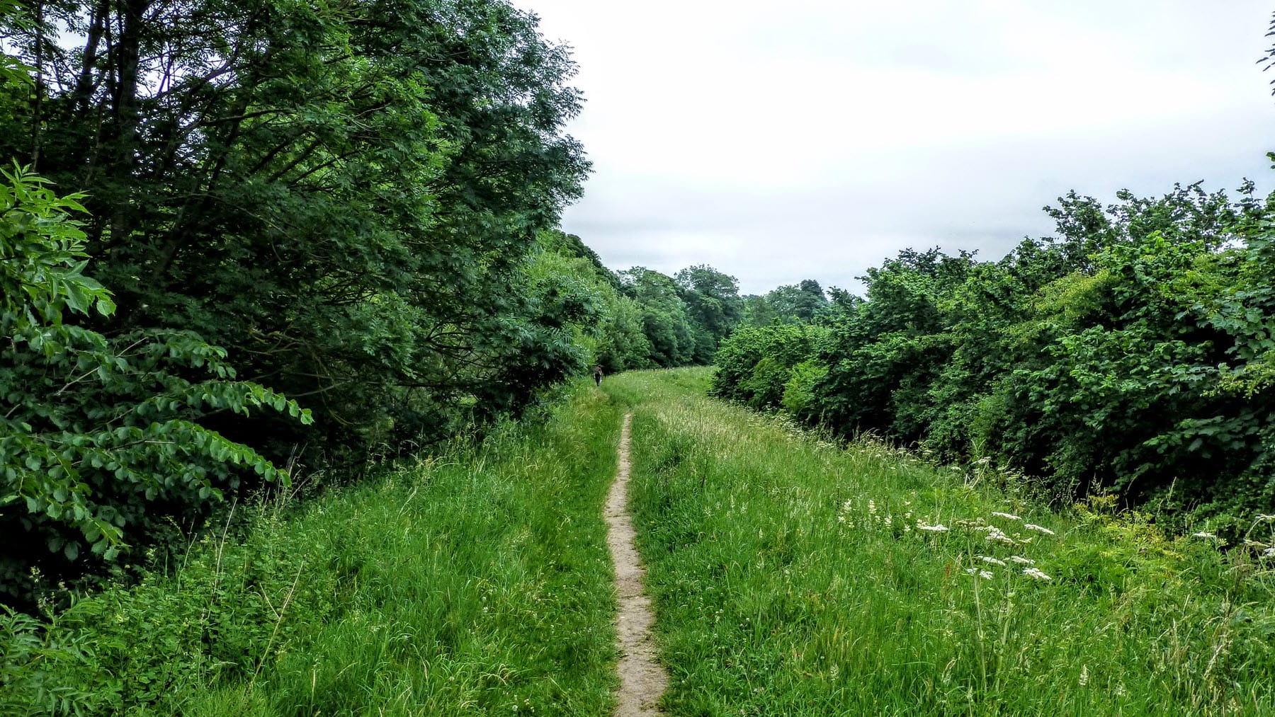
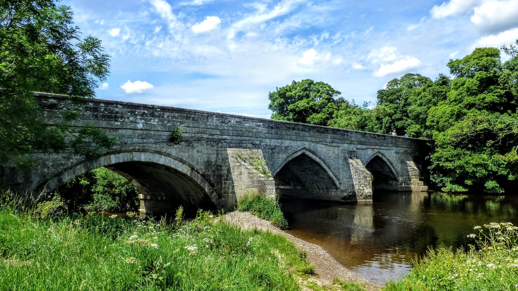
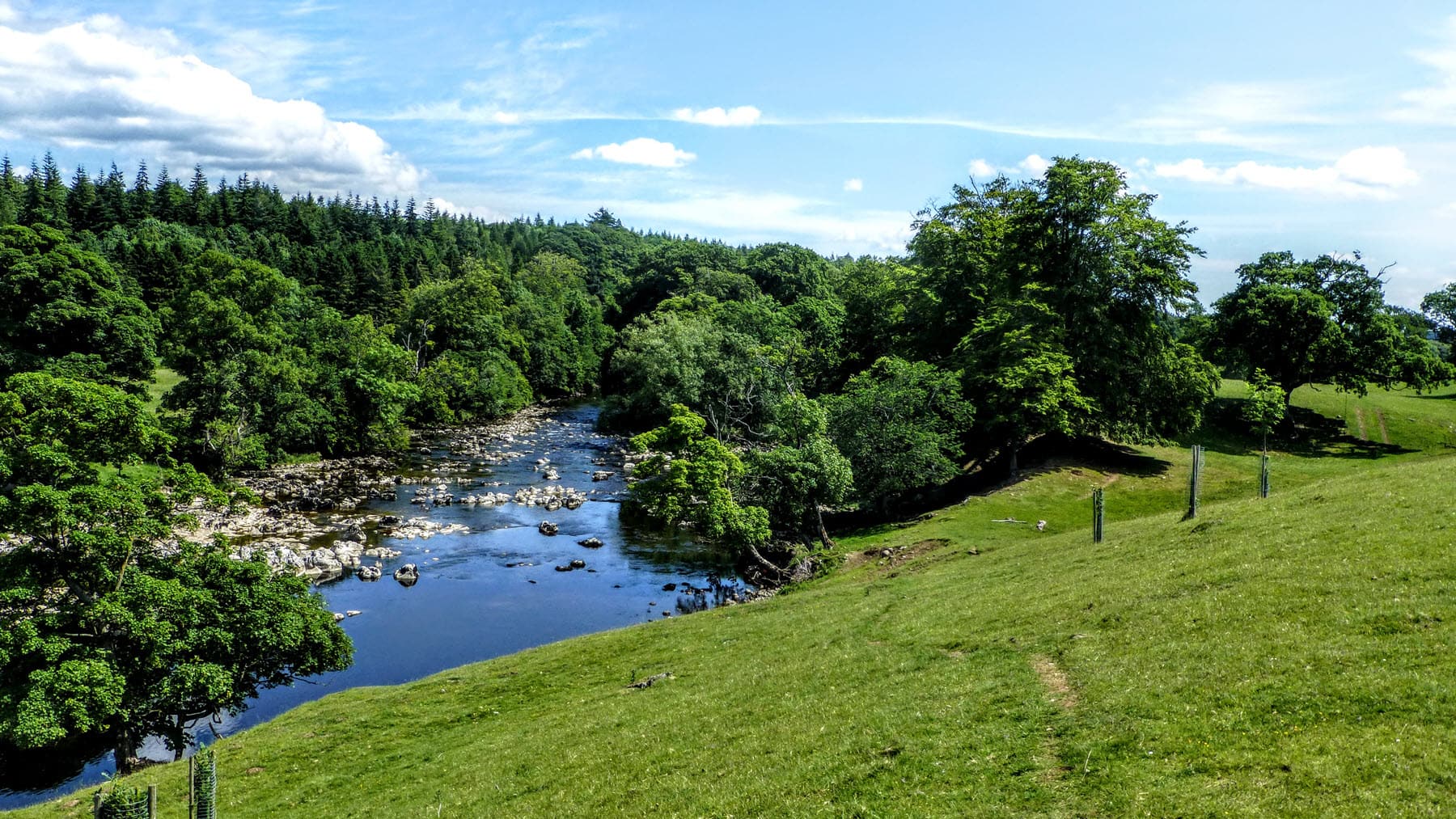
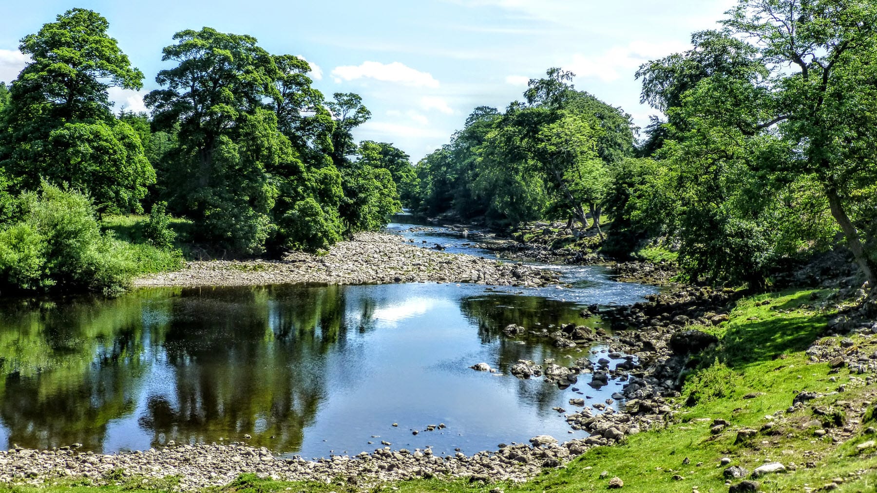
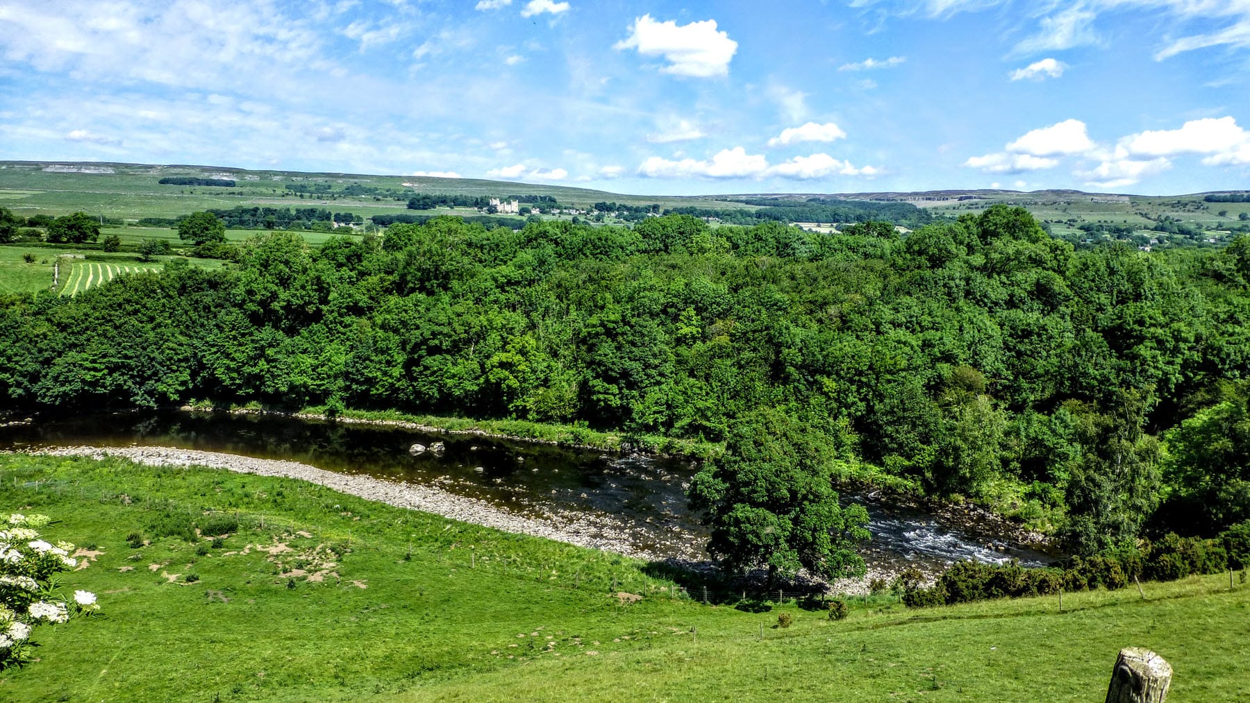
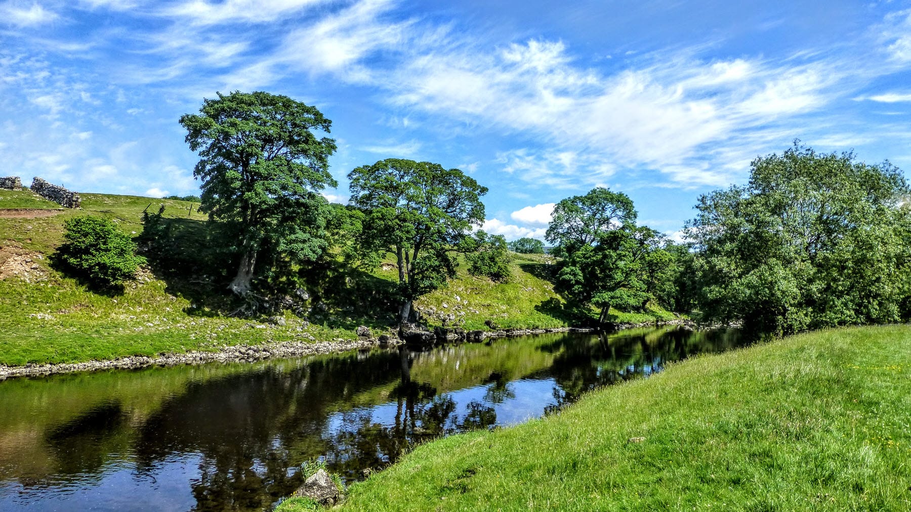
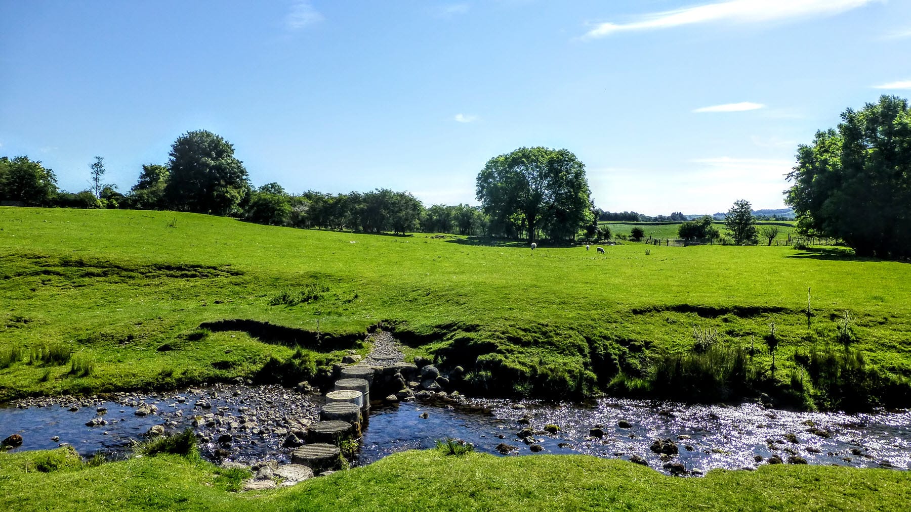
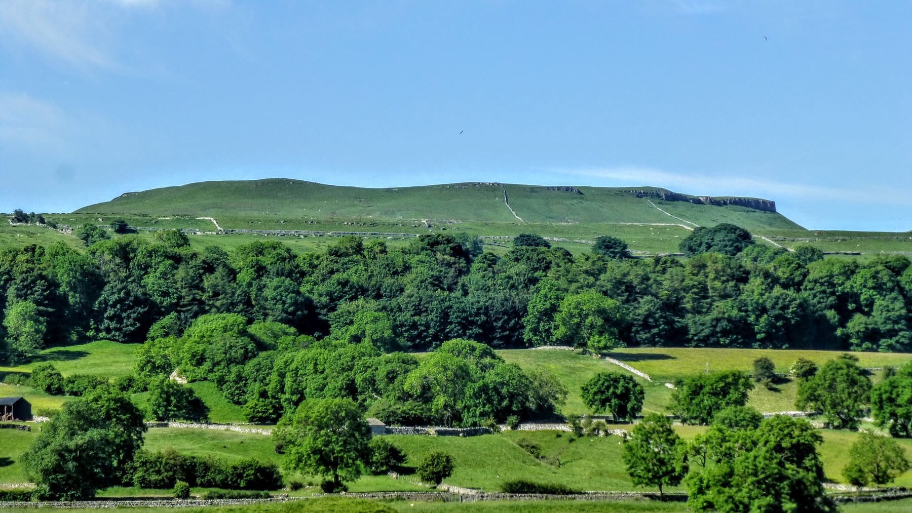
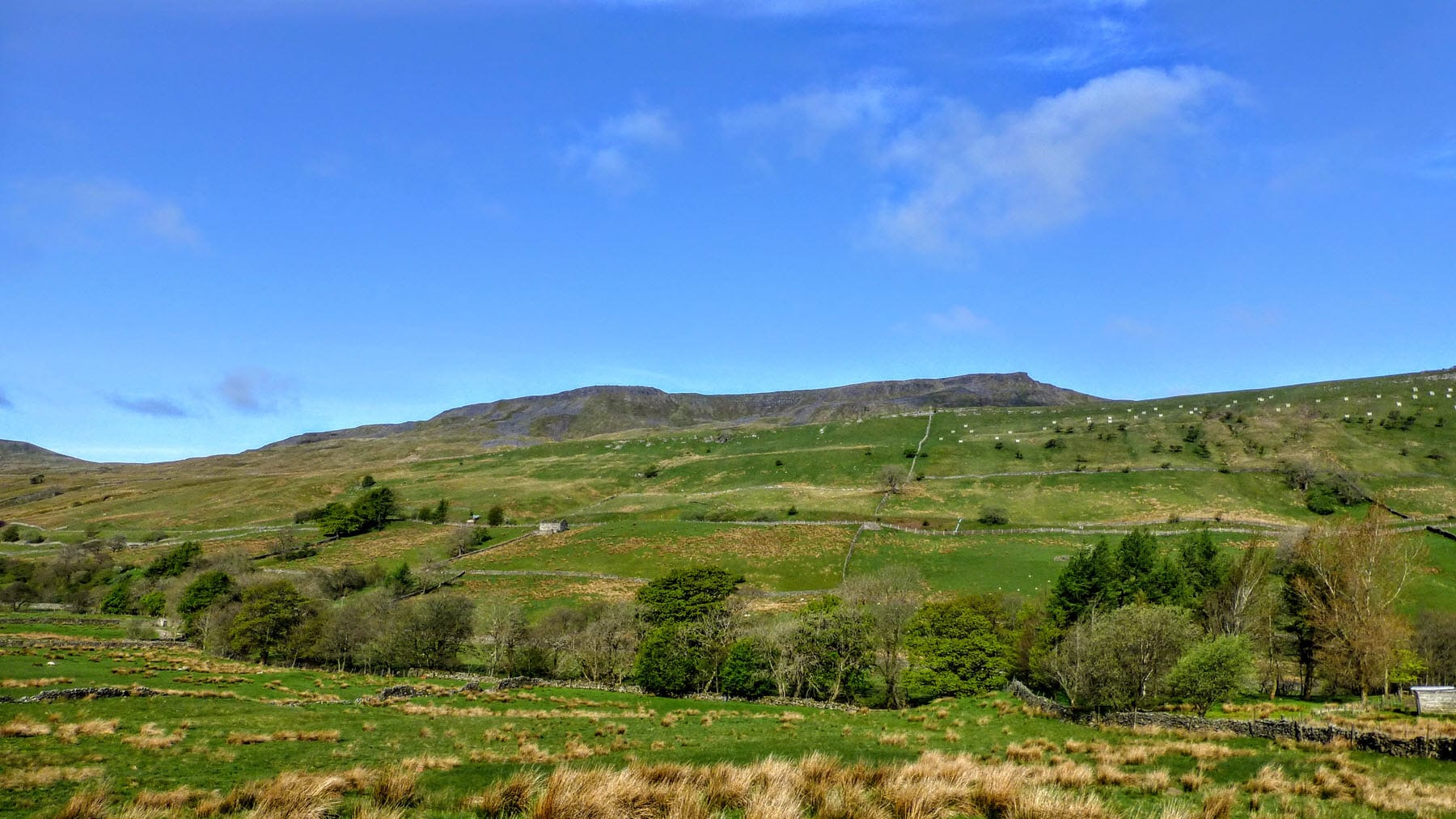
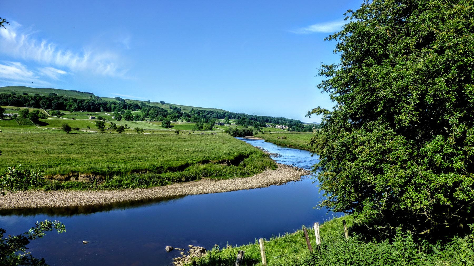
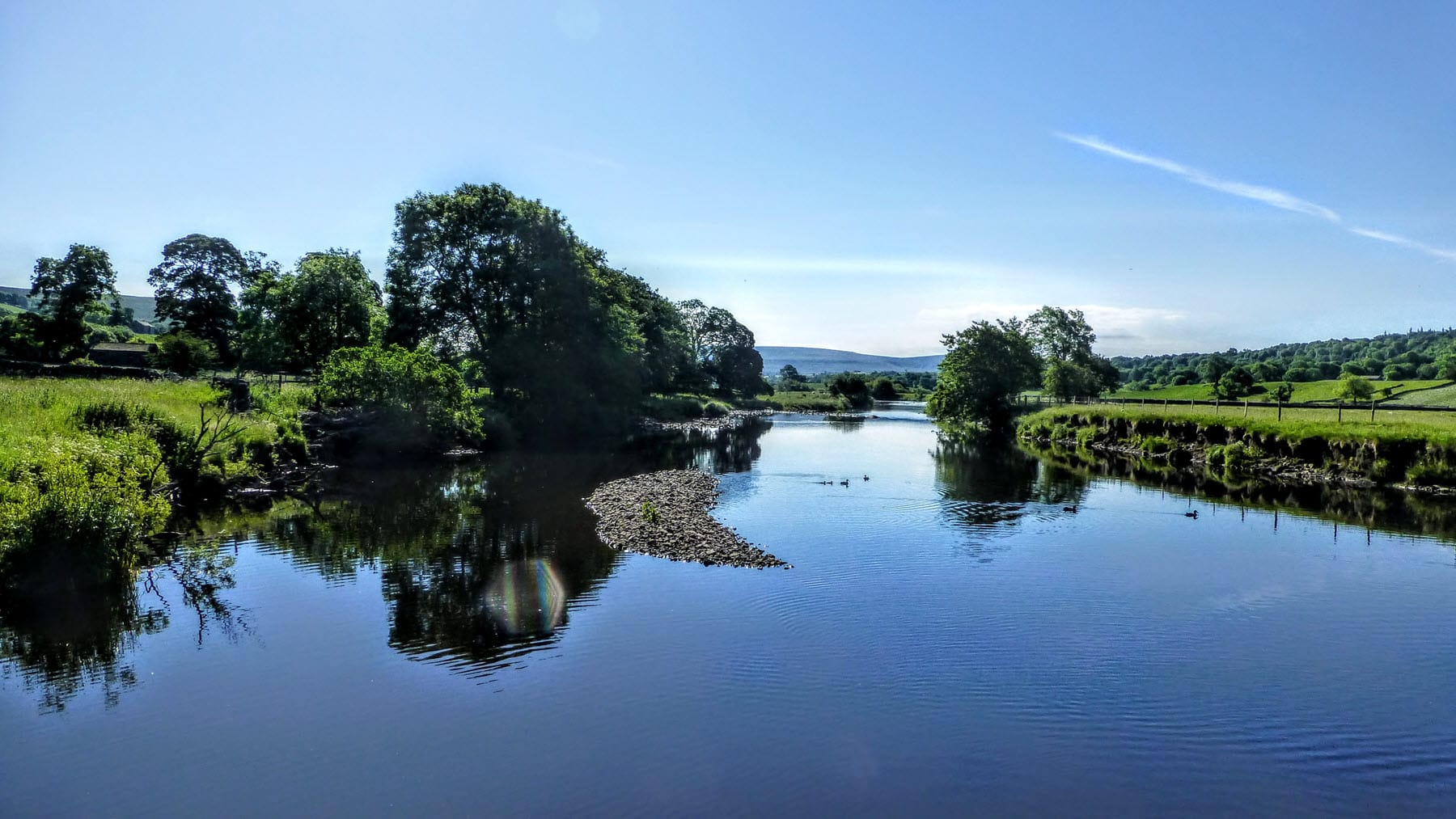
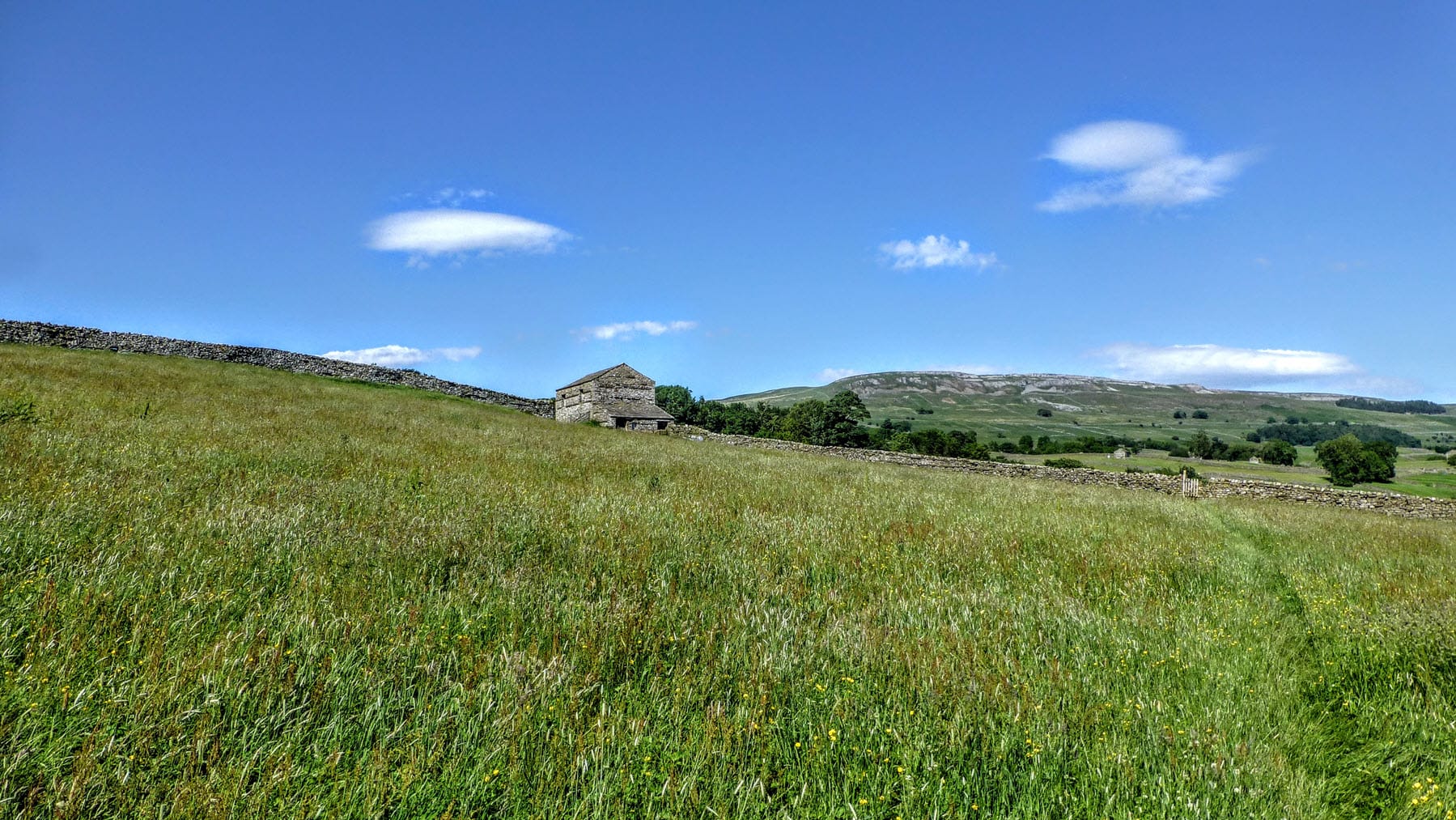
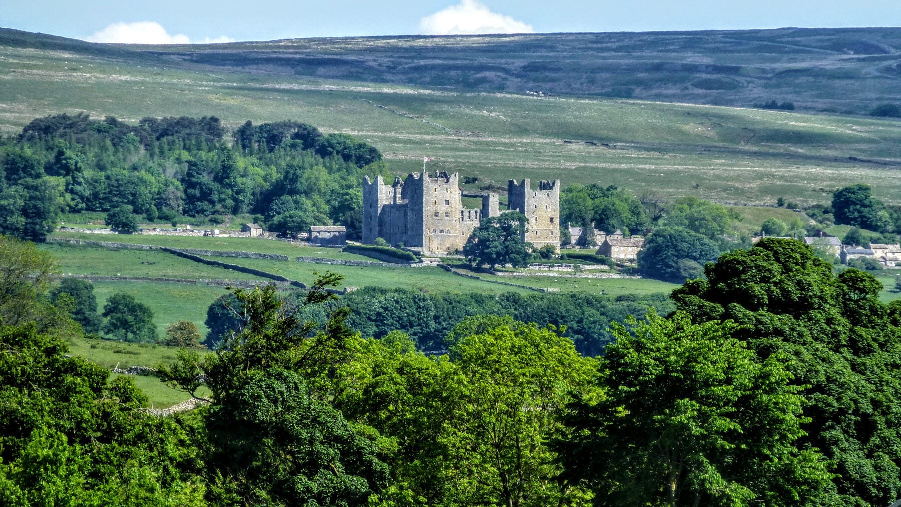
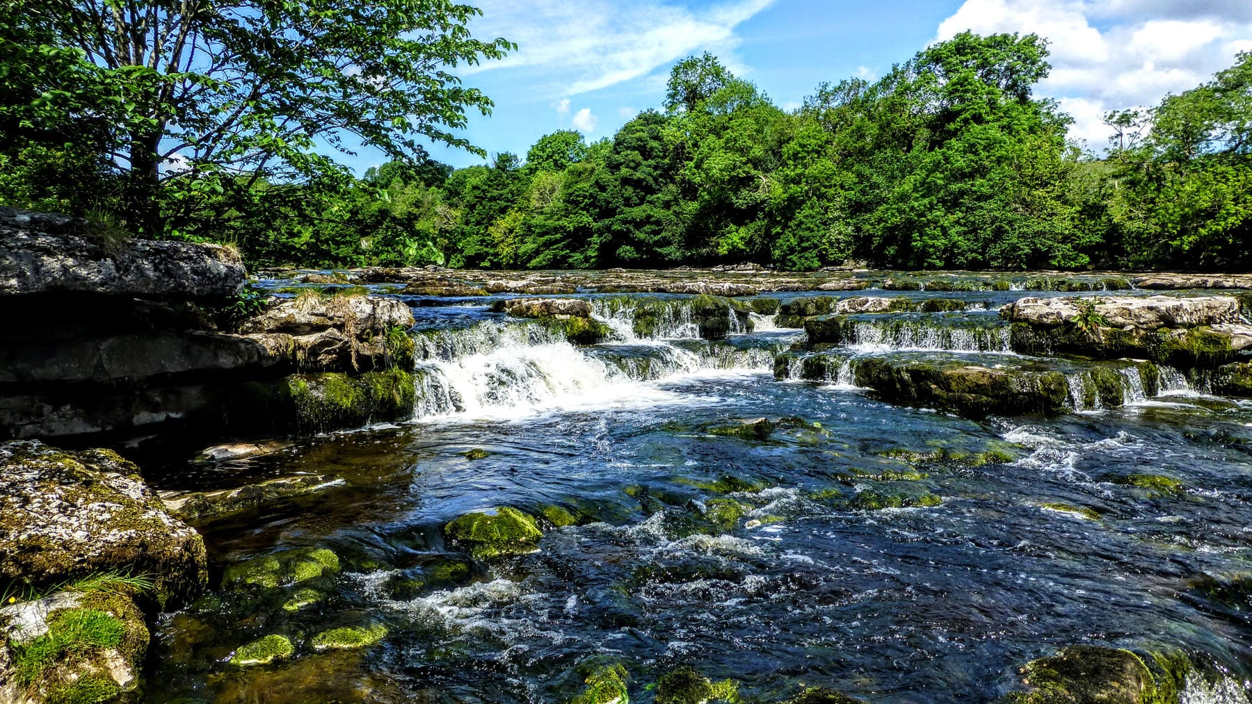
The Yoredale Way is a 73-mile, six day long distance walk that follows the course of the River Ure, from its source on the high fells in the Yorkshire Dales National Park above Kirkby Stephen, to the village of Boroughbridge. For the majority of the Way, we are never far from the Ure as it winds though woodland and beside wide pastures, quaint villages and the parks of stately homes. In Ripon we find the modern bright lights and grand ecclesiastical architecture, side by side in a bustling city, with the Ure calmly sliding by it all. A final stretch of riverside path brings us to journey’s end in Boroughbridge, where you could turn around and follow the Swale Way back to Kirkby Stephen.

The guide book includes a planning section with accommodation guide, town facilities, advice and guidance. It includes a detailed route guide with walking directions and a set of annotated maps. The book is peppered with items of local and historical interest, helping to add context to the buildings, bridges and villages along the Way.

The Yoredale Way is the second book in the Rivers Trilogy – a series of three guide books that follow the course of iconic northern rivers that all spring from the same hillside in North Yorkshire. The other books in the series can be found on this page.

Yoredale Way Guide Book

The route is described in detail in the Yoredale Way guide book. You can order a copy of this pocket-sized paperback, using the [Buy me] button.

Route Overview

Day One:
Kirkby Stephen to Garsdale Head

Distance: Approx 14 mls / 23 km
Height Gain: Approx 2,600 ft / 795 m
High Point: High Seat (2,326 ft / 709 m)
Refreshments: None

Day Two:
Garsdale Hd to Askrigg

Distance: Approx 12 mls / 19 km
Height Gain: Approx 900ft / 275 m
High Point: Yore  House(1,050 ft / 320 m)
Refreshments: Hawes (6 mls / 10 km)

Day Three:
Askrigg to Middleham

Distance: Approx 12 mls / 19 km
Height Gain: Approx 900ft / 275 m
High Point: Yore  House(1,050 ft / 320 m)
Refreshments: Hawes (6 mls / 10 km)

Day Four:
Middleham to Masham

Distance: Approx 11 mls / 18 km
Height Gain: Approx 600ft / 180 m
High Point: William’s Hill (568 ft / 173 m)
Refreshments: Jervaulx Abbey (4 mls / 6 km)

Day Five:
Masham to Ripon

Distance: Approx 13 mls / 21 km
Height Gain: Approx 700ft / 215 m
High Point: Mickley Barras (320 ft / 98 m)
Refreshments: West Tanfield (6½ mls / 10.5 km)

Day Six:
Ripon to Boroughbridge

Distance: Approx 8 mls / 13 km
Height Gain: Approx 100ft / 30 m
High Point: Ripon Cathedral (104 ft / 31 m)
Refreshments: None

Yoredale Way Route Map

Photo Gallery

The gallery includes a selection of images from the route. The photos have been taken over a number of years, at different times of year and in varying weather conditions. They present the many aspects of the walk you can expect to see when you walk it. Click an image to open a larger slideshow.

Frequently Asked Questions

These are some of the most frequently asked questions about this walk, with answers.

There are a couple of reasons to walk the Yoredale Way from Kirkby Stephen to Boroughbridge rather than the other way round. Firstly, this way we are walking downstream which means we are generally walking downhill, once we’ve climbed up to the source of course. There’s something special about finding the first trickles of a river and watching it grow to become one of the major English watercourses. The second reason is to be able to link it to the Swale Way, should you wish to. Taken together, these two walks form a 150-mile circular walk, but either one can be walked in isolation.

The River Ure runs through some splendid scenery, especially in Wensleydale and passes some wonderful ancient buildings, like Middleham Castle and Ripon Cathedral, but the highlight of the Yoredale Way has to be the river itself. It is a river of many moods; wide and slow in places with deep pools, much loved by anglers, it can be a raging torrent as it crashes over the series of limestone steps that form Aysgarth Falls and harnessed and tamed in other places to provide power to water mills.

The Ure has always been an important northern river and it’s inevitable that places and items of historical interest will be found along its length. If you enjoy historical buildings then there are the castles at Bolton Castle, Middleham, Lammerside and Pendragon, then there are the ruins of Jervaulx Abbey, and Ripon Cathedral is one of the most important Christian structures anywhere in England. Going back even further in history, the Devil’s Arrows are a series of standing stones, located outside Boroughbridge, which can be dated back to the late Neolithic period. Old bridges, important country houses and a range of other point of interest can be discovered on the Yoredale Way.

Experienced long distance walkers will not be troubled by any of the stages on the Yoredale Way. Although a couple of sections are quite long and can include a reasonable amount of height gain as we climb up to find the source for example, or the ascent of Penhill to visit the old signal beacon, these are not difficult or arduous days. Navigation is typically fairly simple, using established paths and rights of way wherever possible and low level alternatives are provided for the high routes where route-finding could be tricky in bad weather. The ability to walk for six consecutive days will usually be the biggest shock to the system for someone new to long distance walking.

Each section finishes in close proximity to accommodation, or to public transport links that can be used to reach additional accommodation. Each stage finishes in a village or settlement where you will be able to find a B&B, inn or hotel. Public transport links along the route are generally good. Kirkby Stephen at the start of the Way, has a train station and Boroughbridge has good bus links to get you back home from the end, or you could turn round and follow the Swale Way back to the start!

This is quite a subjective question and really depends on your walking preferences. Personally, the section between Askrigg and Middleham, via the high route up and over Penhill is my favourite. The climb is quite modest but the rewarding views of Wensleydale more than compensate for the effort. The descent across the High and Low Moors of Middleham into the village with its hugely impressive Royal castle is one of the best afternoon’s walking anywhere in the country.

If you prefer lower level walking, with an option for a pub lunch, then the walk from Garsdale Head to Askrigg will be more to your taste. About half way along the section we visit Hawes and a wide choice of options for lunch. For “A Grand Day Out” you can even visit the Wensleydale Creamery, for some “crackin’ cheese”. The route follows the Ure quite closely for much of the day.

If you don’t see the answer to your question above, or in the comments below, then please feel free to ask it. All questions will get a response and even if you’re completely new to multi-day walks, there’s no such thing as a silly question, so please ask away!

Tell Us About Your Walk

If you’ve walked any of our routes, please share your experience with other walkers, or tell us of any issues with a book or the route notes! Use the comments form below.

Leave a Comment

This site uses Akismet to reduce spam. Learn how your comment data is processed.